Showing posts with label Cyclepath. Show all posts

Sunday, 29 April 2018

#CamRideHome Visits Arbury


After a really rather damp day, the ida of going out for a social ride seemed a bit too much. However, the experience was very different. There's something about doing things in a group that makes fun and worthwhile, despite the potentially inclement weather. In fact the adversity may actually bring about more pleasure as you seek to beat it as a group.

The start point, as always, is from from The Mill by the river in the centre of town.


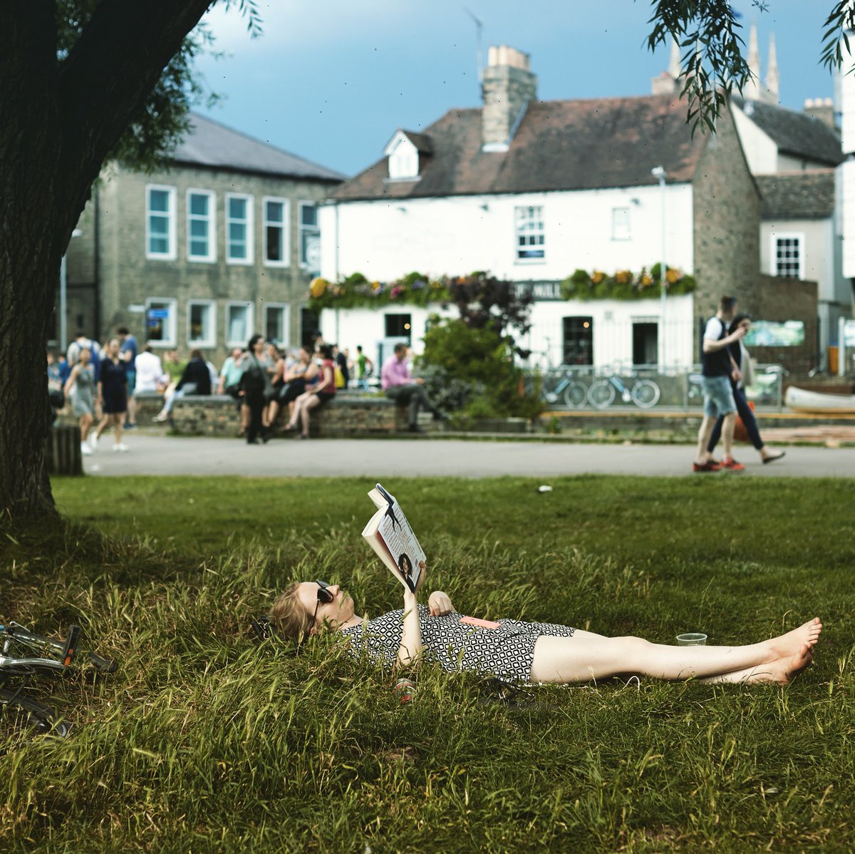
The Mill in Sunnier Times (from their twitter stream)

Here's the route.

Open Map Larger.

Whilst we did meander around a lot of cycle infra around north east Cambridge, the primary aim was to look at the new cyclepaths on Arbury Road.


Plan for the new cyclepaths

And there are a few more photos of this bit of our ride here.

It was good to note the works at the end of the cyclepath, it's the extension going ahead soon.

And here's the video of the route. Look out, music! And inspired by the water all around us, a little ditty by New Model Army.            (Go HD see * below)

0:11 Starting from The Mill
0:30 Passing Kings College
0:44 By the river on Jesus Green
1:22 Green Dragon Bridge
1:33 Fen Road Cyclepath
1:41 Snack break on the Guided Busway
1:59 Getting to the Arbury Road Cyclepath
2:30 Returning to The Mill for a pint and a natter


A slightly sad part was coming back down Mere and Carlton Way, although it didn't spoil the evening mood generally. Several close passes as people driving risked (us) getting round us on a narrow road with oncoming traffic.

One particular fine example of driving was someone passing us close at high speed and parking up in a bus stop. Reviewing video frames against nearby street items and measuring on satellite images showed they were doing at least 37mph (in a 20mph limit).

Large car being driven well over the speed limit


* How to go HD.

Thursday, 7 September 2017

Eddington


So the new Eddington development is opening in West Cambridge. We had a chance to look around a couple of weeks back. It was still a bit closed off but there was a cycle route through.

It is great that there will be new cycle routes, completely separated from roads into town (through the Cambridge farm site?) and to the north west. And it's great to have a place where everything is so close. People are encouraged to make small trips and it looks distinctly difficult to do by car.

Whilst good work has been done to secure off-road space for people riding, it is quite compromised in places, and quite confusing in others. And that makes all the difference. Routes are only as good as their weakest point.

Here's the map of the site [PDF], which does look good, bar one striking point (below). The map descriptions look like they've done the right things. 


Eddington Map

However, when actually riding it on the ground, several issues appear that are completely different to the map.

1. "Shared Pedestrian/Cycle Network". This is really not clear at all. Surface separated (by a thin kerb) and marked as separated. Some signs say different, some a few metres away confirm the surface layout. People will see it as the surface is laid out, segregated, it's a much stronger indicator.
2. The resulting segregated areas are narrow. Even if the whole space were shared, it's still narrow, but not by much. Even if the space is legally defined as shared, it's still not going to be the way people see it, creating conflict between walking and riding.
3. It doesn't come out to the road fully at Huntingdon Road, there are clear signs prohibiting riding, differing from the map's diagram.
4. It doesn't have priority of side roads (like Five Acres), differing from the map's diagram.
5. The long straight roads encourage speeding, even if narrow in places. This is something that seems completely at odds with other new developments.
6. This is a through route for people in cars. If I were commuting from North of Cambridge, I've suddenly got a route that takes me to the Madingley Road Park and Ride. The queuing traffic for this place from the south is pretty bad. Isn't this going to create another queue form the north?


Huntingdon Road: surface arrows suggests people should cycle onto the pavement here


Huntingdon Road: signs (other side!) says you can't cycle on the pavement here


No side road priority next to Eddington Avenue


Segregated sign on Turing Way, not shared use space


Two different signs close to each other saying different things


So, why haven't we learnt from previous developments on these issues. It's not like we don't have great examples not very far away.

Just half a mile south of here, on the West Cambridge cyclepath (to Coton), there's a great peice of Pedestrian/Cycle infrastructure. A large kerb, clearly defined space for people walking and riding. And, the really silly things is that it's only a little bit wider than the space given in Eddington.

I work around quite a lot, and see lots of different infrastructure in new developments. Every other new development I've been to recently (Cambourne, Hargate, Red Lodge, and more) have roads that change direction at least every 100 metres. Every time I drive there 20mph seems fast. So that's the speed I don't even want to exceed. We know that long straight roads means motor vehicle speed increases, making it awkward for everyone else to negotiate crossing or joining them.


Tuesday, 20 September 2016

A10 M11 Junction Paths


So as part of my cycle to work day (well, week, as that's where I was), I've looked at the full journey there and some relative speeds on the way back. Some people noted that I used the rather poor cycle infra that crosses the M11 at the A10 junction and pointed out that there's a much nicer way. And they are right!

So, here's a map of the area, showing the alternative.


On this map, the orange line is the narrow path next to the A10 road, which you can see either heading south from here (until 2:41, music!), or heading north from here (only to the roundabout, music!). The blue line is the new path round, set up across farm land as a proper cyclepath (not just a permissive path according to cyclestreets) and gets away from traffic going over a farm bridge just along from the main road bridges.

And here's the clip (music warning!) with a variety of start points which open YouTube in a separate window.
Go HD see * at bottom

At the start
0:08 Turning In
0:13 River Corner
1:04 Bridge Ramp (and stop spot)
1:24 Onto Separated Cyclepath (and Trumpington Meadows Park entrance on left)
1:38 Building Site Centre
2:02 Turning Out Across Road


So, which way's best? Well that depends on you!

So, I've favoured going along the narrow path next to the road. Essentially, it's just that bit shorter to make it worthwhile. It's 20% less distance, although it's not quite as much timewise as there's no need to wait whilst crossing M11 sliproads. Again, this is a short distance and it's not much time, but it's still more towards my feeling whilst I'm lugging a reasonable weight around along a 7/8 mile commute.

Yes, I'm crossing sliproads, which isn't too bad but does involve awkward observation and interaction with quick traffic. Also, I'm next to a noisy busy road all the way. And the grass significantly narrows the path (although interaction with other users seems to go fine). Finally, the layby is quikc awkward and I've experienced drivers putting their vehicles into the very narrow path. So there's a number of negatives.

So the quiet path round is, precisely that: quiet and around. It is quiet lovely down by the river, albeit quite a short section. Then it's very much up through rural scenery. Not beautiful, but quiet and pleasant. As you approach the M11 the route joins a farm track and has a stopping spot (an extension of Trumpington Meadows park?).

The farm track over the bridge is steep, and I'm always aware that farm traffic may be around. Coming off the bridge the route goes onto a separate track, something that may well indicate a level of farm and building site traffic nearby. There is the entrance to Trumpington Meadows park on the left, although it's not particularly inviting at this end.

So, to me, the quiet path is further, involves going more up and down, has a steep bridge, and could have some other traffic around on the same infra. It is generally quieter and potentially more pleasant, it's just not that much better to convert me.

I know people put some effort into getting this path and I get why some will like it, it's just not for me right now.

Now, there is something more to consider: where are people cycling to from here? Locally we have the hospital, the railway station (and rail corridor area), and the city centre are the three areas that spring to mind.

Looking at the map, the green routes show how to continue on separated infra to both the hospital and rail corridor area. There's a few poor links here. Having to go round the roundabout at the park and ride will put some off, although I find that traffic is slow here and it feels like crossing a road more than using one. Addenbrookes Road always seems like putting the cycle infra in last, the long way round, and not giving it any priority. However, it does get all the way, as long as you're happy to do a full loop round after the railway bridge.

Onto the city centre? Well, following the railway corridor route does get you going roughly in the right direction, but it's quite a long way round. The best current route (in red) sadly involves a too much sharing with busy traffic. There is a good separated route just north of Trumpington centre, just no way through to get to it (block in red).

However, there may be a longer term strategy in play here. The entrance to Trumpington Meadows park is the clue. This has cycle routes that continue on to the Grantchester Road. The meadows do continue on up to the city centre, with lots of space given over to open (permissive!) access land. There is the potential to use more farm tracks up the east side of the river (currently not in use) and connect into current cycle infra in the Latham Road area. However, there's some pretty obvious big places that might not like that. Hmm, what to do?


* How to go HD.