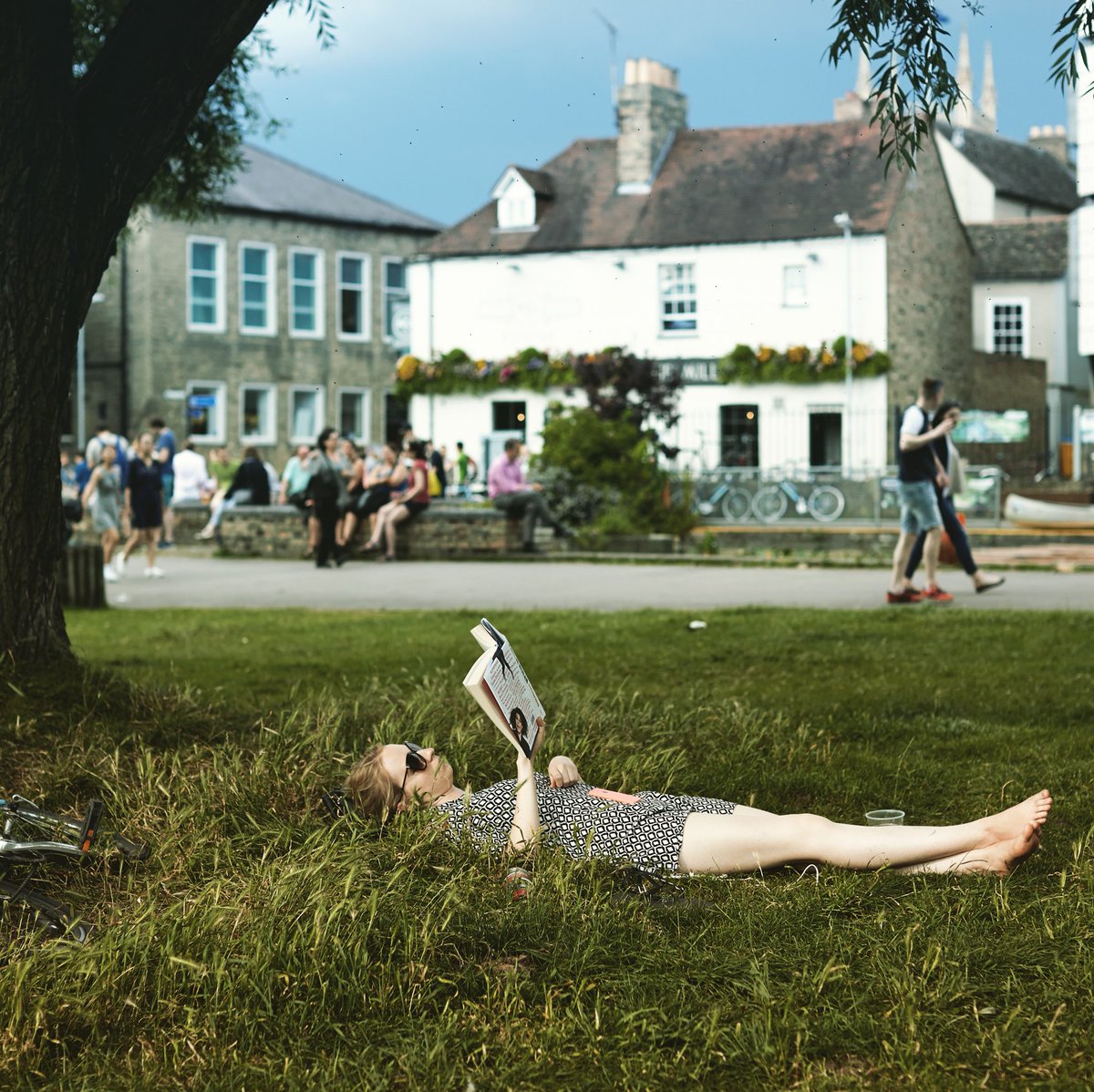
Finally we get a pleasant, sunny, evening ride after a wet couple. So, what better than to look to the sun and the south city Trumpington Meadows Country Park?
The start point, as always, is from from The Mill by the river in the centre of town.
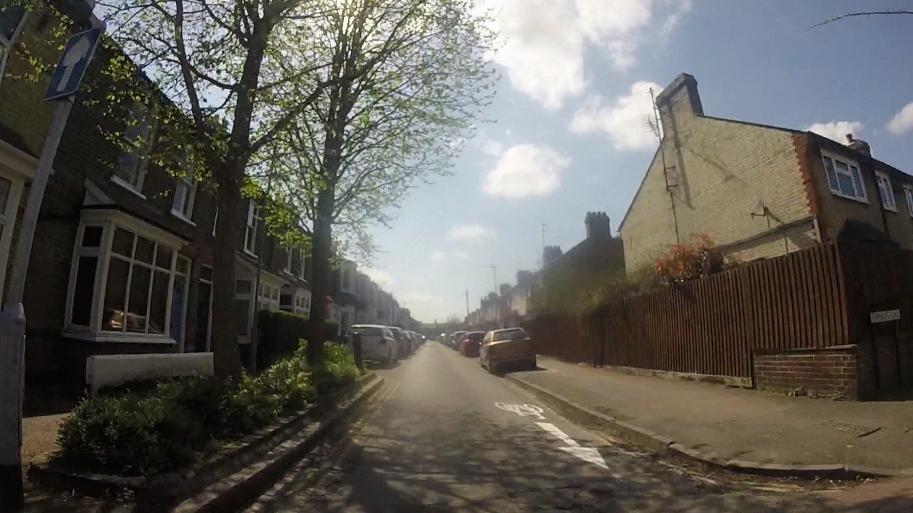
A short meander around west Cambridge, with the sun dripping off the tops of the hedges and verdant trees, but constantly heading towards Grantchester. Getting out of the city feels great on this lackadaisical Friday early evening, even cars are a rare and hardly noticed event.
Once through the beautiful Grantchester and across the river valley, the turn ito the route to Byron's Pool was welcome. We decided to drop the bikes (quite hard!) and walk down to the pool. Discovering ducks and the fish route round the weir was a little special.
So then off across Trumpington Meadows Country Park. It was just lovely. And clearly not well known about. When I had a look for any online activity about it I could only find rather awkward PDF history, and the local residents association run down which, whilst enabling lots of images, could really do with someone with website design experience (a bit like I might need to!).
So, it's great for people to walk and ride for a place to go. In some sense, it also could be used as a route through for people cycling from Harston and beyond into the city centre. Staying away from the awful road from the M11 to Trumpington High Street would be great. This could be the beginning of a green route in just like the other end of the river going out across Ditton Meadows. Of course it needs to be done right, but that should be easy with the space that's here.
On the way back we had a look at the new Clay Farm developments near the Guided Busway. It's great to see a new community centre appear, I hope it's well used.
We did wander up Limes Avenue and were quite disappointed. For a new development with so much space, why no dedicated cycle infrastructure? This would have been so easy to do, but there's absolutely nothing. On top of that, the development sticks to 1970s design models by making lots of straight roads, encouraging speeding by drivers. Again, and I know there are other issues, why not look at Cambourne? A place where few people drive faster than 20mph because it's too hard to go faster. Just like Eddington we seemed to have gone backwards. And this is a town where you'd have thought they would be thinking about these kind of things. But no. A poor development, infrastructure wise.
Here's the video of the route. Look out, music! (Go HD see * below)
0:11 Starting from The Mill
0:43 The road to Grantchester
1:01 The Blue Ball
1:14 The Green Man
1:37 Heading for Byrons Pool
2:03 Entering Trumpington Meadows Country Park 2:25 The Lark Sculpture
2:36 The Hare Sculpture
2:48 Pool
3:42 Harston cycle route
3:53 Clay Farm Centre
4:14 Limes Avenue
4:45 Returning to The Mill for a pint and a natter
After a really rather damp day, the ida of going out for a social ride seemed a bit too much. However, the experience was very different. There's something about doing things in a group that makes fun and worthwhile, despite the potentially inclement weather. In fact the adversity may actually bring about more pleasure as you seek to beat it as a group.
The start point, as always, is from from The Mill by the river in the centre of town.
And here's the video of the route. Look out, music! And inspired by the water all around us, a little ditty by New Model Army. (Go HD see * below)
0:11 Starting from The Mill
0:30 Passing Kings College
0:44 By the river on Jesus Green
1:22 Green Dragon Bridge
1:33 Fen Road Cyclepath
1:41 Snack break on the Guided Busway
1:59 Getting to the Arbury Road Cyclepath
2:30 Returning to The Mill for a pint and a natter
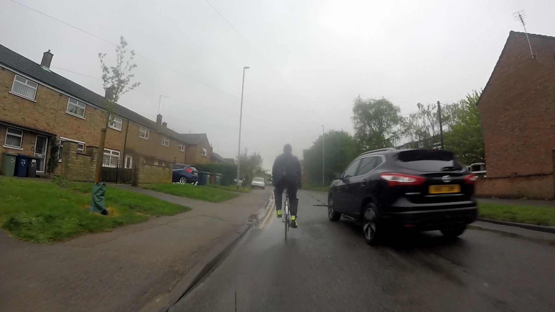
A slightly sad part was coming back down Mere and Carlton Way, although it didn't spoil the evening mood generally. Several close passes as people driving risked (us) getting round us on a narrow road with oncoming traffic.
One particular fine example of driving was someone passing us close at high speed and parking up in a bus stop. Reviewing video frames against nearby street items and measuring on satellite images showed they were doing at least 37mph (in a 20mph limit). Large car being driven well over the speed limit
So, the delights of early spring in Cambridge when the sun comes out. This ride has lots of cycle paths, quiet streets, open spaces, very pleasant in the early spring sun. Even the speeding close cars on Gilbert Road didn't spoil the mood. Every interaction other than that was with a smile, drivers included!
The start point is from Hills Road near the railway bridge, heading down Brooklands Avnue.
And here's the video of the route. Look out, soundtrack!(Go HD see * below)
0:11 Starting from Hills Road near the Railway Bridge
0:27 Crossing into the Coe Fen
0:41 Over the river
1:06 Cutting through the colleges to Burrells Walk
1:44 Up Madingley Road
2:00 Through the back of hte Astronomy
2:26 Crossing Huntingdon Road
2:51 Gilbert Road, speeding close cars, uggh
3:30 Over Fort St Goerge Bridge onto Midsummer Common
3:50 Keirin anyone?
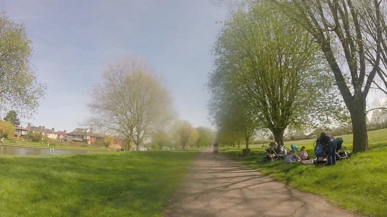
4:05 Stourbridge Common with picnics
5:00 Onto Coldhams Common
5:36 Sedgwick Street with it's new counter flow cycle arrows
8:00 Railway Cycle Bridge
So a few decided to make the trip up to the new cycleroute that has been set up between Stow-cum-Quy and Lode. This was changed from a Friday evening to a Sunday lunchtime ride as it was New Years Eve (and few could do the Friday slot!). It had the benefit of ending at The Shed, a new pub in Lode, just about lunchtime. Hey Ho!
Setting Off (photo by Simon Nuttall)
Here's the route planned. A fairly simple jaunt along NCN51 out from Cambridge, which is mostly off-road, and when on- it's very quiet. Note that we came back along the road to the Missing Sock (another great venue), merely to see waht it was like (very quiet).
So to the route itself. It starts where the offroad NCN51 crossing of the B1102 in Stow just north of the A14 roundabout and makes it's way through Stow towards the Quy end of the village (good history here).
This first section can be a little intimidating. People driving have only just slowed down for the village and still have expectations of making fast progress. There are not many easy places to pass, especially with oncoming traffic. Why wasn't the off-road path started here? Well, probably for a number of reasons. Could it change, I hope so, although it may be more difficult to do so as a secondary change.
Just about where Stow becomes Quy, there's a turn off onto a small, quiet side road. It's still direct and makes for a nice relaxing change from the previous section. This continues into Quy Court Business Park, which also has slower speeds, although also suffers from reduced visibility and the likelihood of people driving not looking as they park.
After that is the off-road path itself. This is lovely. It starts off being separated from the road by a hedge, a great reduction in noise. Sadly, this doesn't go for the whole length, but it does do it's best and it's clear why it can't.
Cyclepath Start
At the Lode end, near Anglesey Abbey, the route crosses back over th B1102 and then proceeds to the Lode turn. In fact the off-road path continues for around 50 metres into the village. From there it's a quiet ride down to The Shed.
Arrival at The Shed
And here's the video of the route. A few glimpses to the route itself, then a quick look at the good (of which there's a lot), the bad (and there is a bit), and the ugly (thankfully none!). Look out, soundtrack!
(Go HD see * below)
0:11 Starting from Cutter Ferry bridge
0:56 Stow Road Section
1:32 Turning onto quiet road in Quy
1:50 Quy centre
2:00 Start of the off-road section
2:40 Anglesey Abbey Road Crossing
3:09 The Shed, Lode
3:14 Some return clips
So, the new path should be welcomed, it's a helpful addition to the route network. It should mean more people ride, although it's not really going to include quite a few people who really won't like that first road section. If it's to be a route, it's only going to be as good as it's weakest point.
So, looking at the road section, why wasn't it changed. Simply, it's quite difficult. However, it's not that difficult, and there is space. Sticking with the same side as the built route, and there is room most of the way. True, it means costly moving of lamp-posts and other street furniture. Opposite The Wheatsheaf, the space on that side runs out. There is still roadspace, so it's a question of moving the kerbs, again costly for cyclepaths.
Space on Right
Could it be done later? Yes, I hope so. After all, we are just finishing up the same kind of project, with similar issues in Harston. And I'd suggest the idea of a quick win was the reason why this wasn't done to start with.
Once at the turning onto the quiet road, there's plenty more space on both sides. And this continues along the main road apart from a small section just after the crossroads. Again, some clever considerations here would enable this to be a fully linked path. Of course, the quiet road could still be used, which wouldn't be absolutely ideal, but would allow for some of the less confident riders.
Space Either Side
There are a couple of potential issues with the path itself.
First, in two places trees come close to the route. Has enough been done to ensure there's no root damage from the trees. We've recently suffered from this on the Guided Busway (yes, that short time and we have it) and can see many examples around town where this is the case. You don't see it as often in roads, why would that be? A better substructure?
Trees very near path, has sufficient been done to stop root damage?
And second, There is at least one tractor crossing. Again, with several tons moving across the path, not too regularly, just enough, has the path surface and substructure been designed to deal with this? I'm not sure. I have seen what other places do to protect fomr this kind of damage, and it doesn't look like we've done anything like enough.
Tractor Crossing, is their adequate surface and substructure here?
So, onto the last section, the crossing and the route up to Lode.
After the nice section away from the road, the crossing comes at you quite quickly. It's quite difficult to see through the trees and work out when it's okay to cross. People riding do like a good chance to look around, see whether they can plan a route across and do it quickly without stopping. This isn't possible here. There is an island, but we were all too nervous to use it. It looks very small and there's a worry about being clipped whilst waiting. And if we want this facility to be used by lots of people, we need to make it so lots of people can use it at the same time, not one or two.
Road Crossing near Anglesey Abbey
Finally, the path up to the Lode turn. This is well known for being the Anglesey Abbey overflow car park. Cars will litter this place at busy times. I hope some contingency has been made to deal with this issue.
Here is an example. Now, the car isn't parked all the way across the path, but it does take the whole space up. When passing a parked car, riders are taught to be at least an open doors width away, in case someone in the car opens the door. The Dutch Reach, as good as it is, will only reduce the numbers of poeple who do open doors without looking. It's still better to avoid the area when riding.
Parked Car on Cyclepath
Finally, we did see the sun, if only for a bit and a bit muted!
The Hint of Sun on Return
All in all, a lovely ride out, and I like the new path, with some reservations. Convivial chatter along the way and great food at The Shed made it all a pretty good New Years Eve.